Alkoomie Place Precinct

Wilton, NSW - Dharawal and Gundungurra Country

Grounded on Dharawal Country, the Alkoomie Place Precinct creates a nature-structured ecovillage in Wilton, where over half the site is dedicated to open space, ephemeral wetlands, and connected micro-communities.

Driven by Allam, the project moves away from conventional yield-driven planning to ensure vast skies, clean air, and nature's rhythms define the future community’s identity. By engaging with the landscape to structure the master plan, nature becomes the primary framework rather than a constraint to work around.

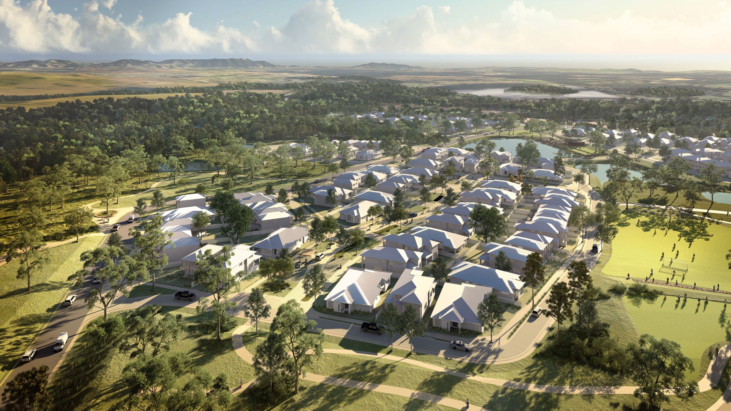
Spanning 103 hectares, the precinct organises housing into a series of distinct micro-communities shaped by horizon views and bushland outlooks. These neighbourhoods are linked by a green community loop of streets and pocket parks, all centred around a managed parkland, wetland, and community gathering hub.

To refine this layout, an iterative co-design process tested ideas via collaborative workshops and an interactive 3D digital model. By evaluating view alignments, scale, and solar orientation, the design team ensured that roughly two-thirds of future residences directly overlook nature, enjoying optimised environmental performance and equitable access to local amenity.

Beyond its immediate residential footprint, the precinct delivers substantial public benefits, including upgraded road infrastructure, active transport corridors, an ephemeral water management network, and shared community facilities.

The Alkoomie Place Precinct demonstrates how a co-creative approach, digital testing, coordinated planning, and landscape-led design can create an enduring, climate-resilient community that sits harmoniously within its environment.
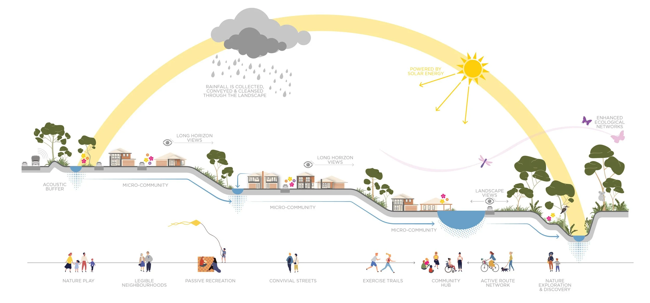
A diagram showing how rainwater is collected and used for a micro-community, with various ecological and social benefits like long horizon views, passive recreation, and nature exploration, powered by solar energy.
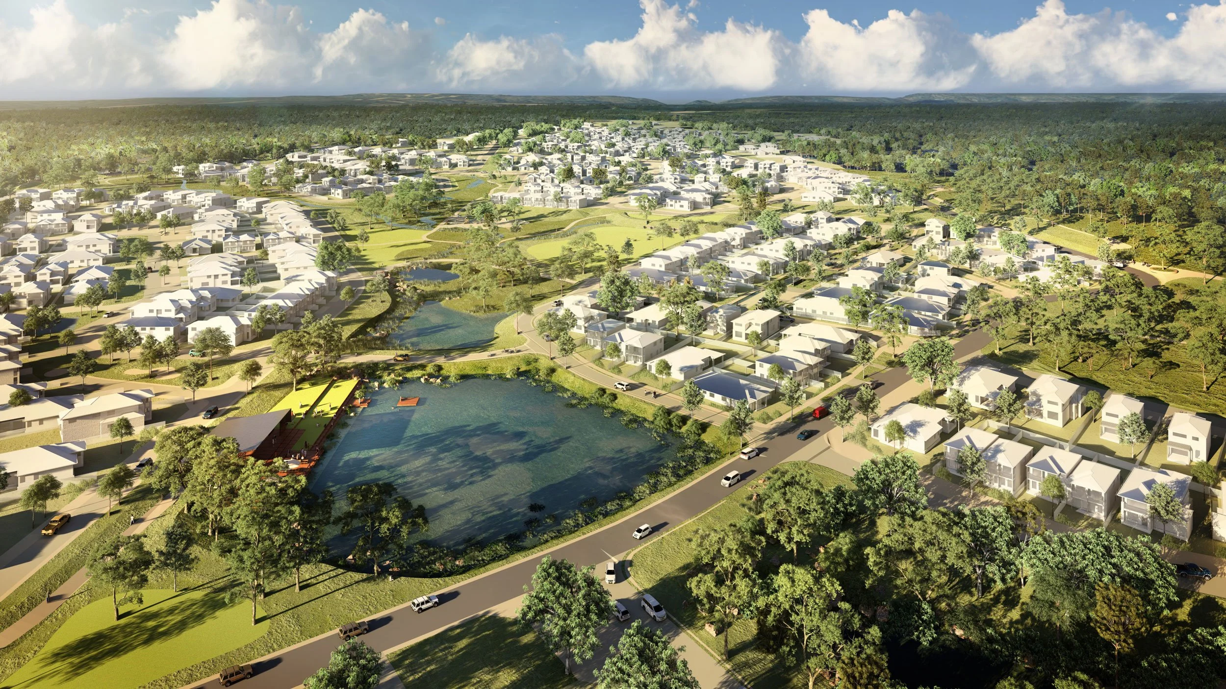
Aerial view of a residential community with numerous modern houses, green lawns, trees, small lakes, and park areas surrounded by a forest under a partly cloudy sky.
A digital rendering of a modern suburban neighborhood with rows of white houses, green trees, small lakes, and a park with people playing, surrounded by hills and open land under a cloudy sky.
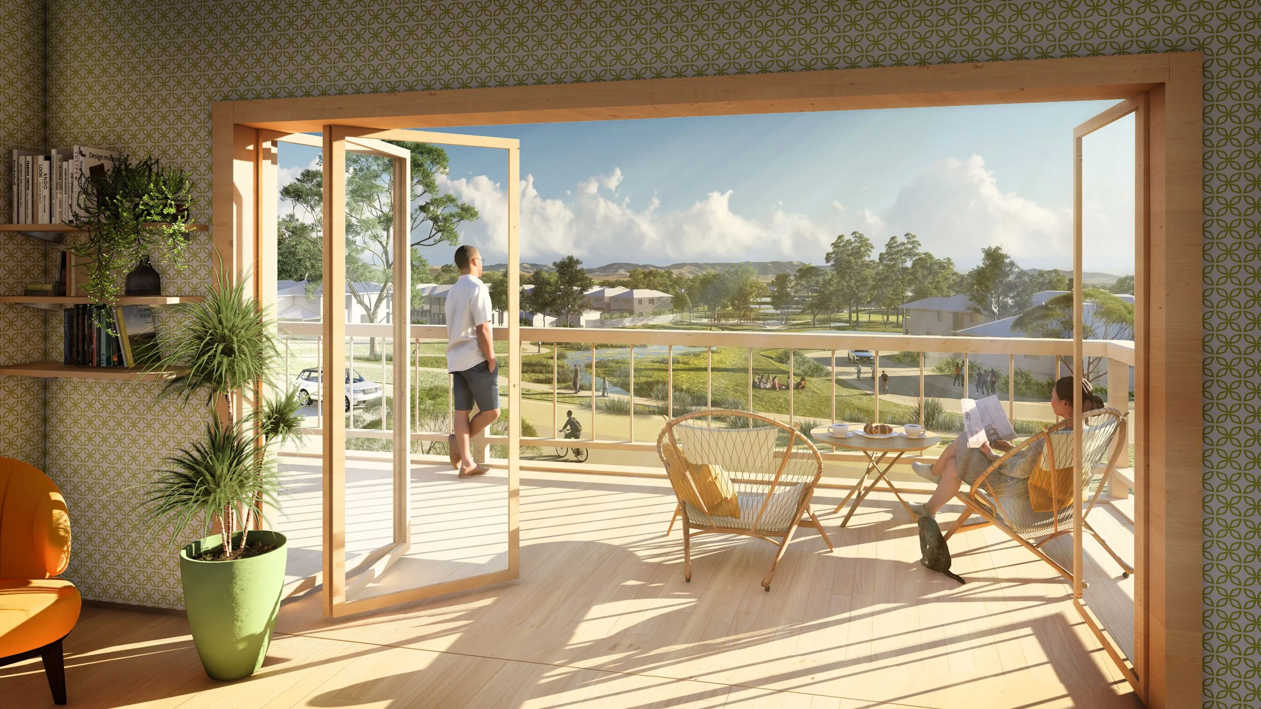
People enjoying a balcony overlooking a park with trees, grass, and a winding path, under a partly cloudy sky during daytime.
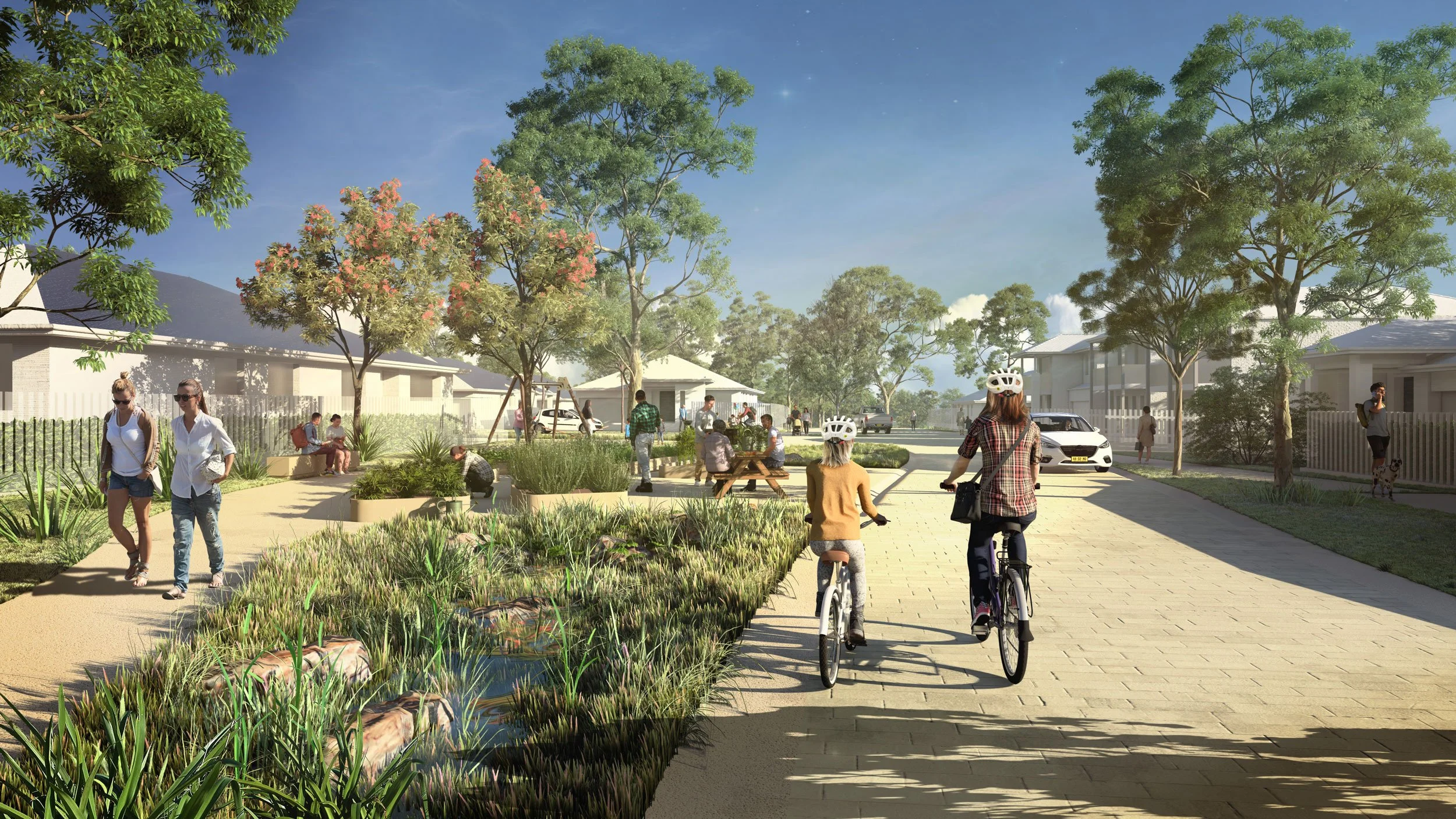
A vibrant neighborhood park scene with people walking, biking, playing, and sitting on benches, surrounded by trees, plants, and modern houses under a clear blue sky.
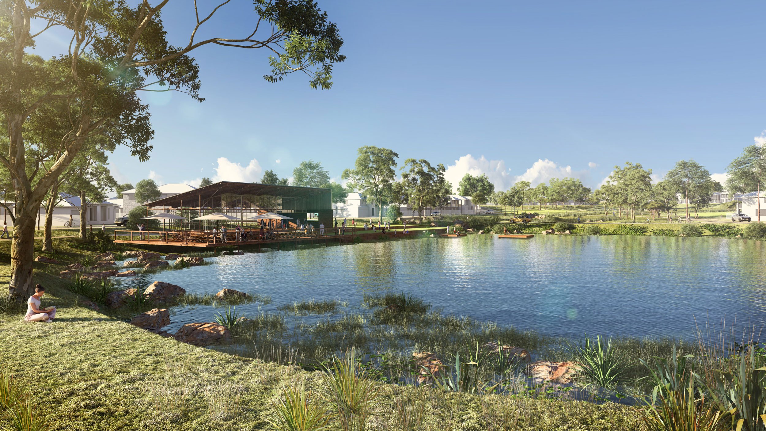
A scenic modern park features a body of water in the foreground, with people relaxing and enjoying the view. A pavilion with umbrellas and seating is set near the water, surrounded by trees and grassy areas. In the background, there are residential buildings and a road with cars and bicycles, under a clear blue sky with scattered clouds.
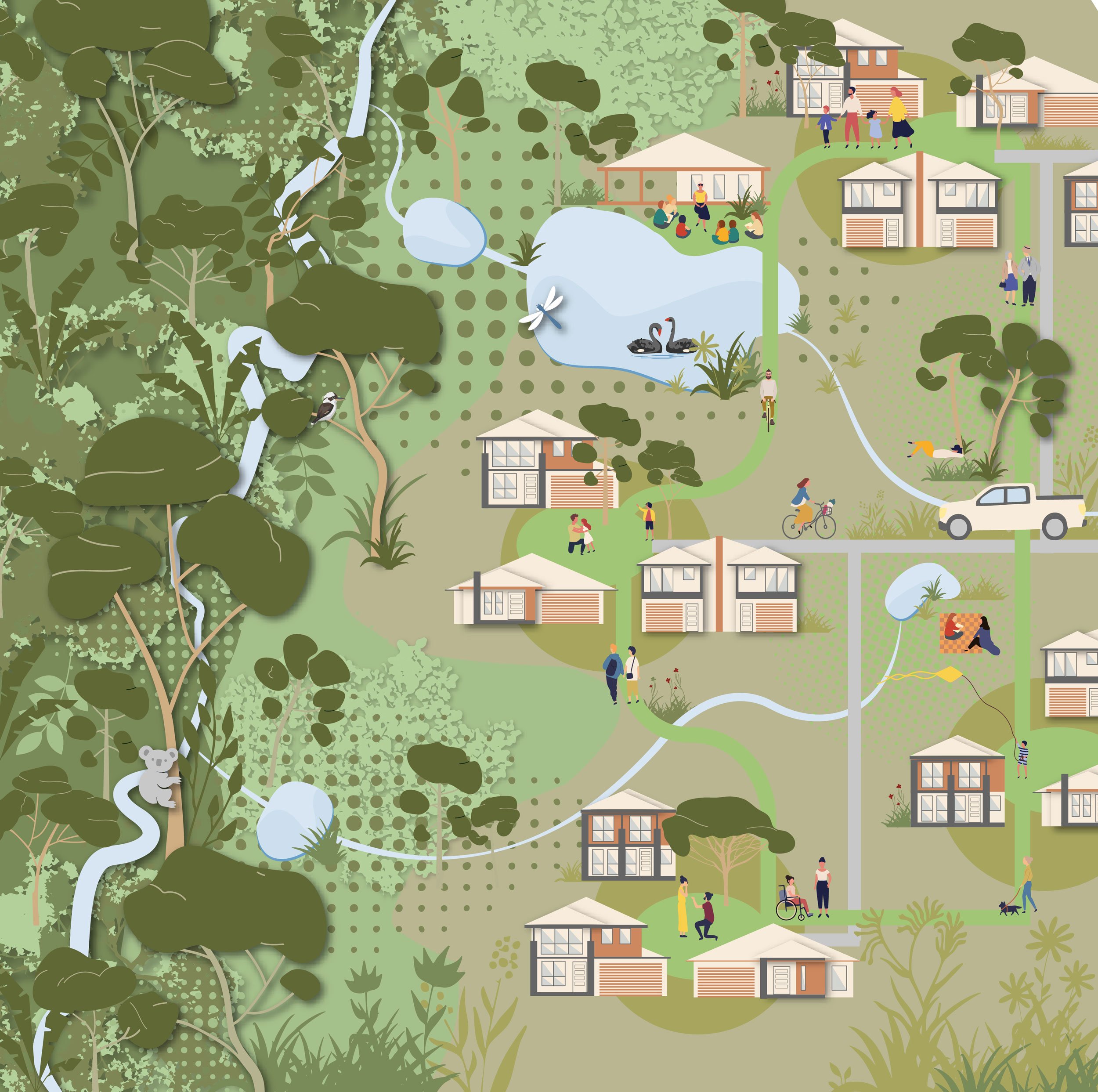
A colorful illustrated map of a neighborhood with houses, trees, a pond with swans, people walking and cycling, and a butterfly near a river.

Year

2026

Type

Master Plan

Scale

Precinct

Size

103 Hectares

Pathway

Planning Proposal

Key Collaborators

Connecting with Country – Yerrabingin

Sustainability - ClimateWise Design

Statutory Planning - ADW Johnson

Water Cycle Management and Flood – Civille

Biodiversity – Biosis

Bushfire – BlackAsh

Civil Design – Enspire

Traffic and Transport – SCT Consulting

Landscape Design – Place Design

Acoustic – Marshall Day

Heritage – Biosis

Contamination and Geotechnical – GHD

Social Infrastructure – ATX Consulting

Economic Impact – Hill PDA

Survey – Craig and Rhodes

Project Management - Clarity PM

Client

Allam Property Group