
Bunnerong Road Affordable Housing
Randwick, NSW - Bidjigal and Gadigal Country (Eora / Dharug Nation)
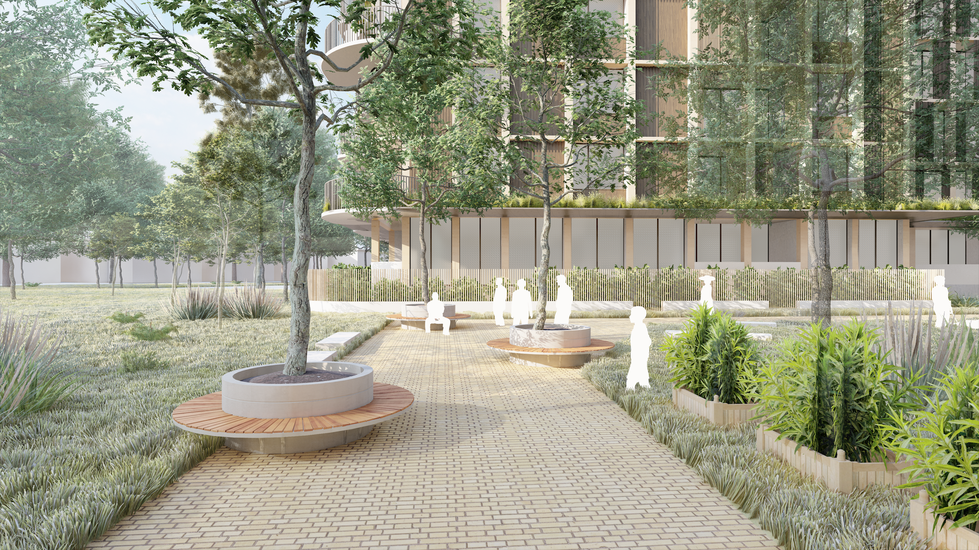
Establishing an blueprint for affordable housing along Randwick’s evolving Bunnerong Road transport corridor that supports connected, high-amenity community living within Sydney’s Eastern Suburbs.
e8urban was engaged by the NSW Land and Housing Corporation (LAHC) to conduct an urban design investigation for a key residential parcel along Bunnerong Road within the Randwick City Council Local Government Area. The study was commissioned to explore site-specific capacity and establish an optimal urban design response that aligns with regional affordable housing targets and broader strategic corridor planning.
Driven by rigorous site analysis, contextual mapping, and iterative design testing, e8urban developed and refined a series of spatial options into a definitive Preferred Option. The proposed site layout and massing framework are carefully calibrated to balance density with microclimatic performance, streetscape integration, and residential amenity.
Crucially, the urban design strategy responds directly to the ongoing upzoning and strategic densification of the Bunnerong Road corridor, driven by major state investments in public transport infrastructure. By maximising the functional utility and development yield of government-owned land without compromising urban quality, e8urban’s scheme provides LAHC with a robust, deliverable blueprint. The resulting framework ensures the site can seamlessly transition into an exemplar affordable housing development that supports connected, high-amenity community living within Sydney’s Eastern Suburbs.


Year
2021
Type
Built Form
Scale
Place
Size
4,000 sqm
Pathway
Rezoning
Client
Land and Housing Corporation